Inn at Grand Pré Winery
Bay of Fundy & Annapolis Valley, Grand Pré


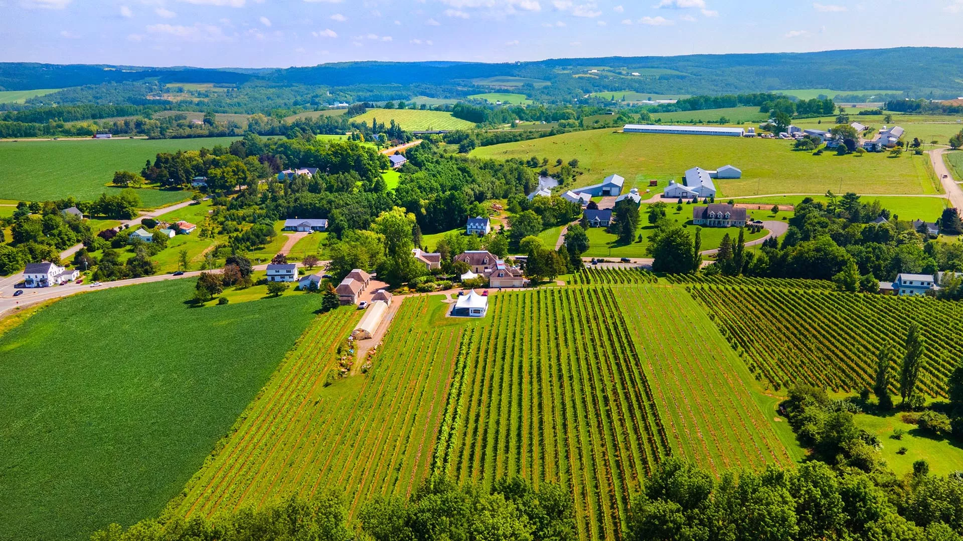
The Landscape of Grand Pré became Canada’s 16th World Heritage Site, inscribed by UNESCO, in 2012. The 13 square-kilometre (5 mi²) site is located on the Bay of Fundy’s Minas Basin in Nova Scotia’s Annapolis Valley.
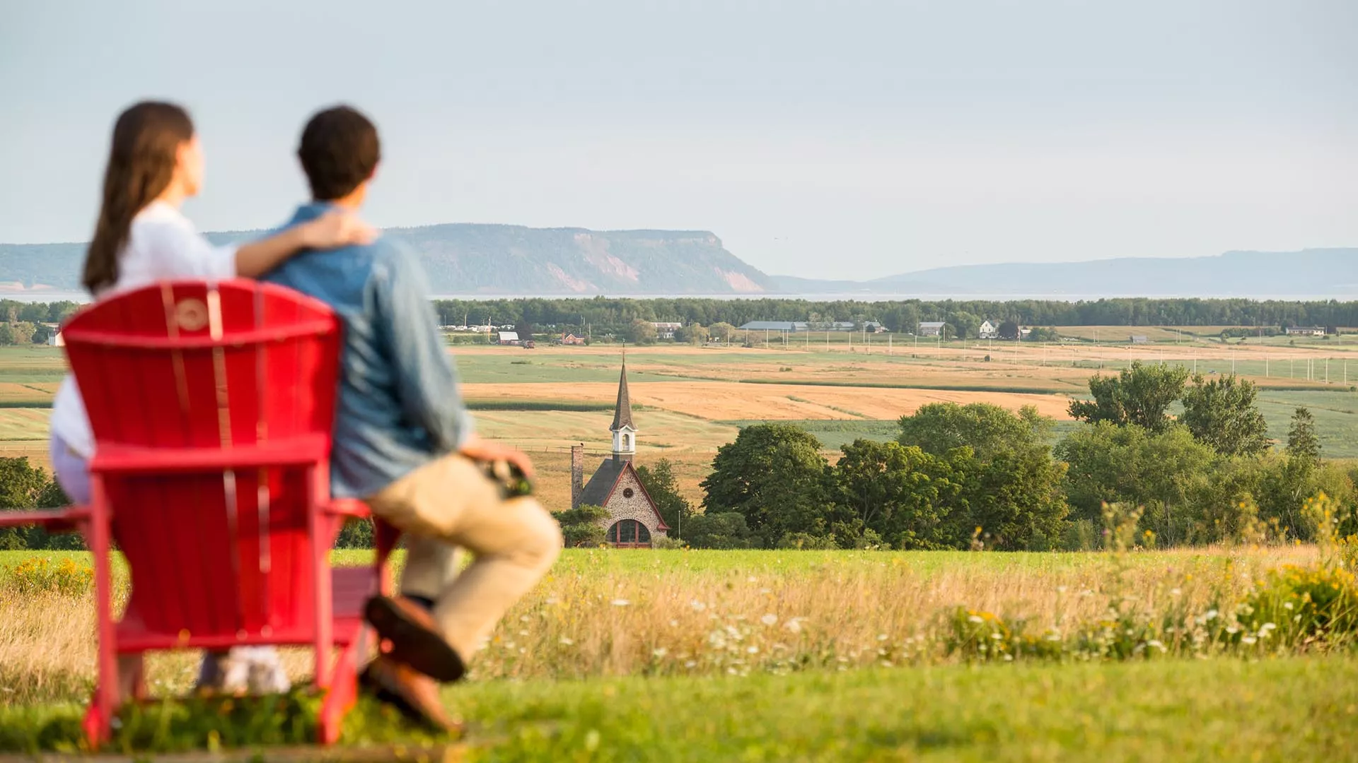
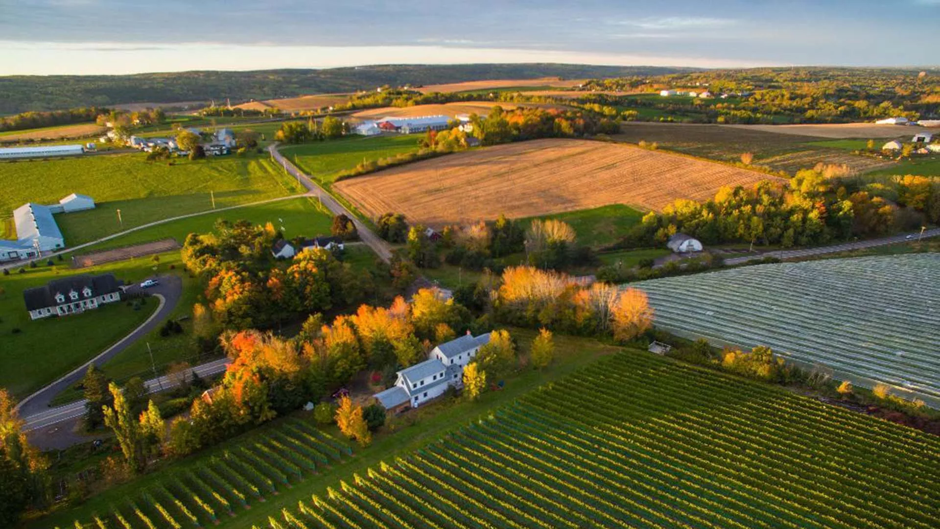
The full expanse of the Landscape of Grand Pré can be best appreciated from the View Park on Old Post Road. The dykelands, fields, and settlement on the hills, first established by the Acadians in the 1680s, have been maintained and expanded over centuries by farmers of New England Planter descent, and later immigrants – including English and Scottish who came in the 19th and 20th centuries and Dutch who arrived after the Second World War.
The view of the 1111-hectare (2745 acres) of dykelands within the World Heritage Site is framed by the dramatic Cape Blomidon, from which tradition holds, the legendary Mi’kmaw figure Kluscap (Glooscap) kept a watchful eye over his people.
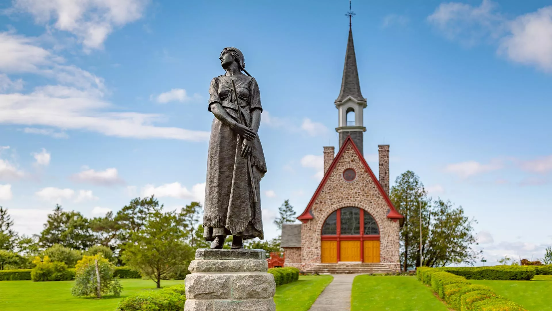
Visit Grand-Pré National Historic Site to learn more about the Acadian settlement of Grand-Pré, the Expulsion and the Acadian memorials.
Horton Landing commemorates the national significance of the arrival of New England Planters to Nova Scotia in 1760. You can see the dykes protecting the fields and the Deportation Cross, an important Acadian memorial. This site symbolizes the spirit of cooperation between the Acadian diaspora and the current community members. It was this cooperation which made possible the inscription of the Landscape of Grand Pré on UNESCO’s World Heritage List.


Open year-round


Open year-round


Open year-round
Open seasonally

Identifiez-nous sur vos photos de voyage pour qu’elles soient mises en vedette.
