Fisherman’s Life Museum
From June 1 to October 4
Eastern Shore, Jeddore Oyster Pond
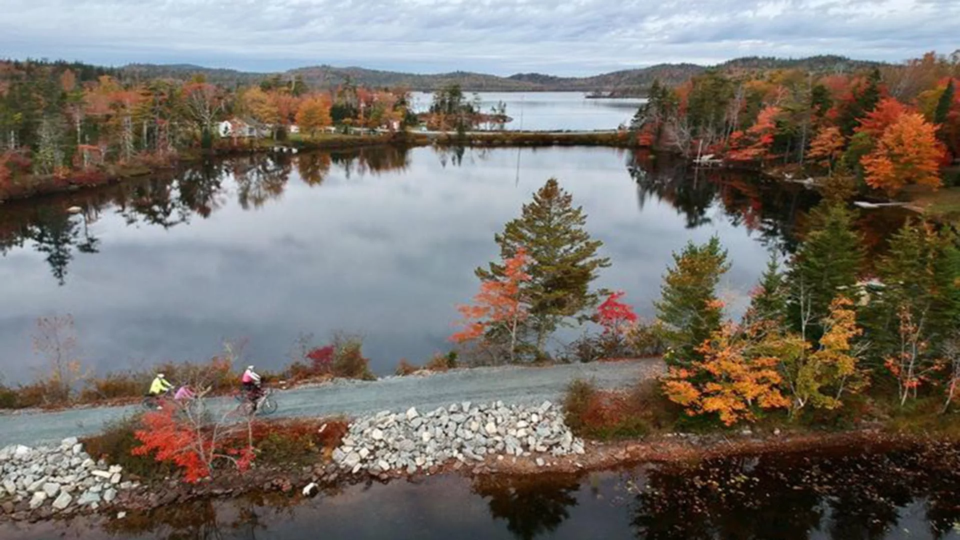

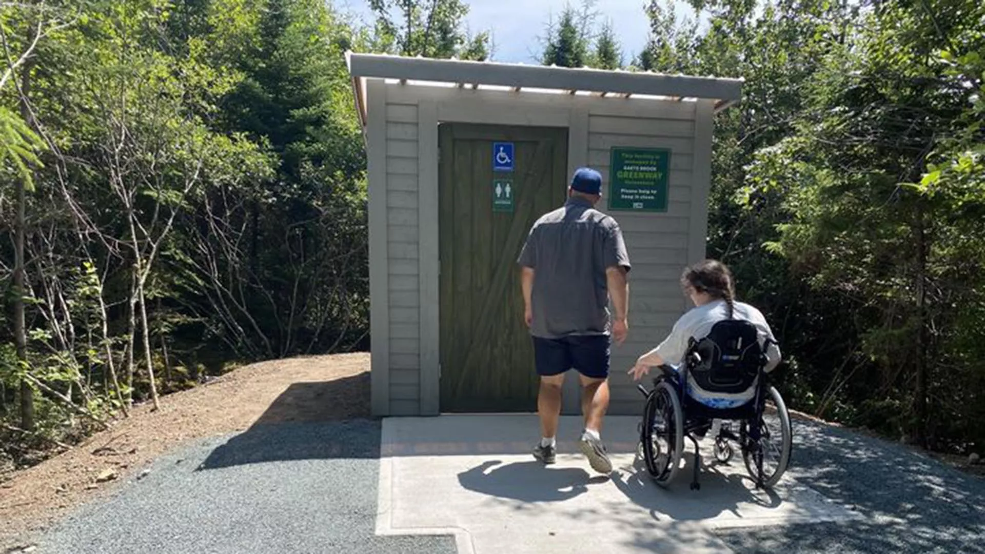

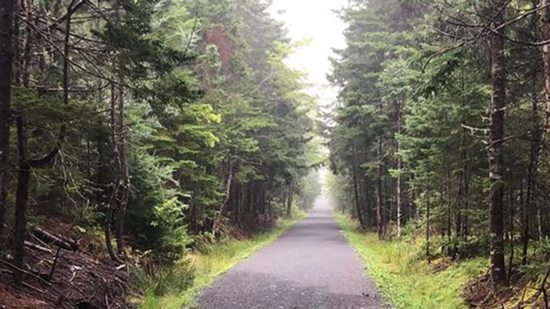

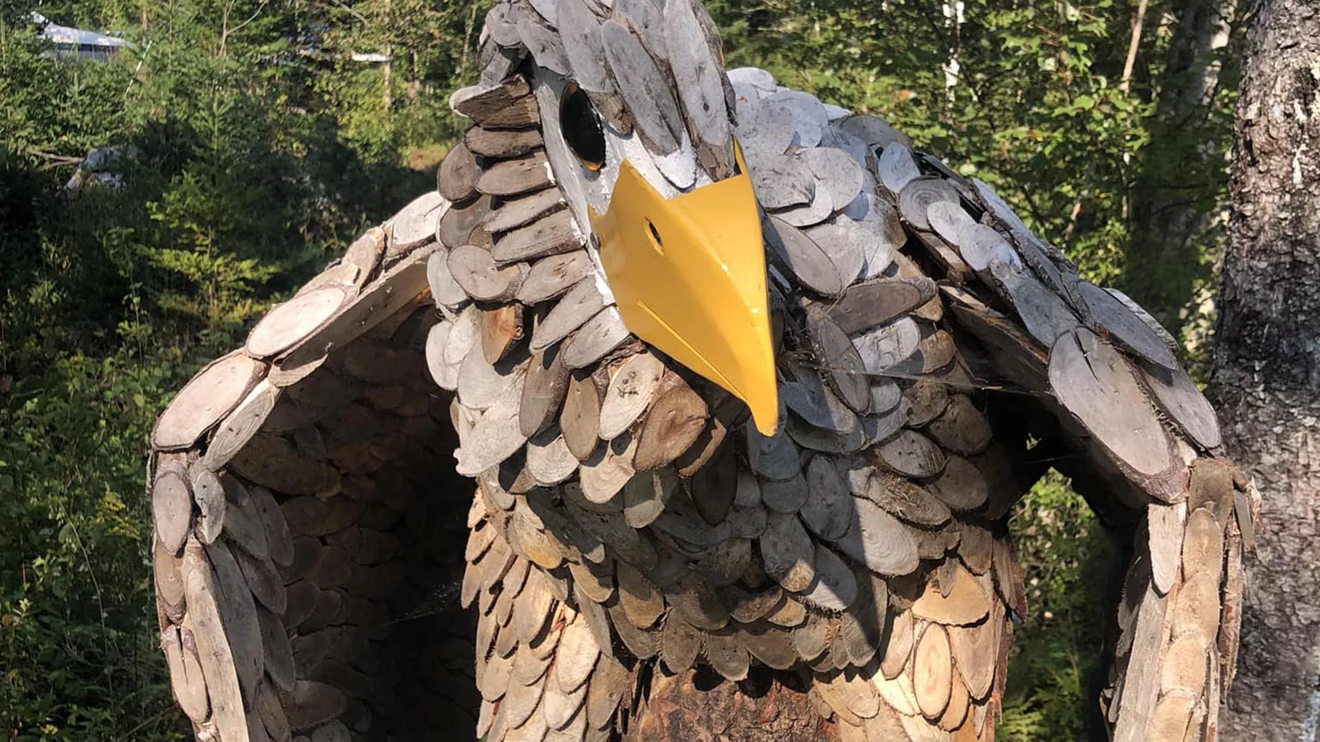


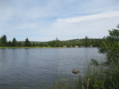
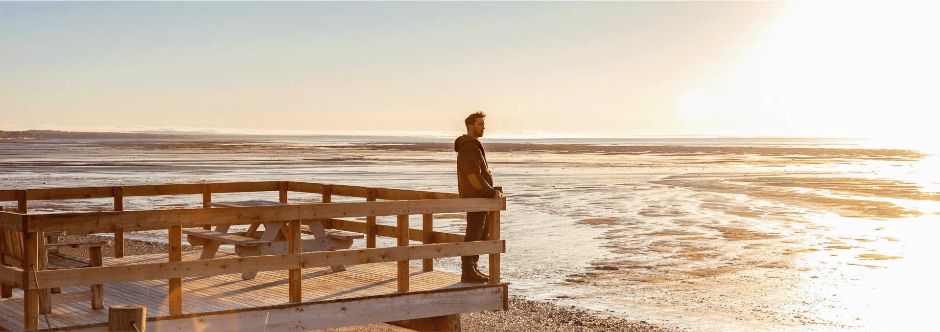
The Gaetz Brook Greenway opened in 2019. It is a 7.4 km, point-to-point Active Transportation trail which is part of the Trans Canada Trail network. The trail follows the abandoned rail bed extending from East Chezzetcook, through Gaetz Brook to Musquodoboit Harbour. The compacted surface makes the greenway an excellent walking, running, or cycling path with picnic shelter/tables, benches, accessible toilets, and art sculptures placed along the trail. The trail hosts three trestles that cross over the Chezzetcook River, Gaetz Brook and Rogers Brook where people fish or bird watch.
The trailway has four accessible parking lots, and two fully accessible outdoor toilets. Beautiful vistas, with canopies of mature trees and natural vegetation as well as local talent artwork are all sites to be seen when travelling along the greenway which is located on the Eastern Shore of Nova Scotia.
Facilities

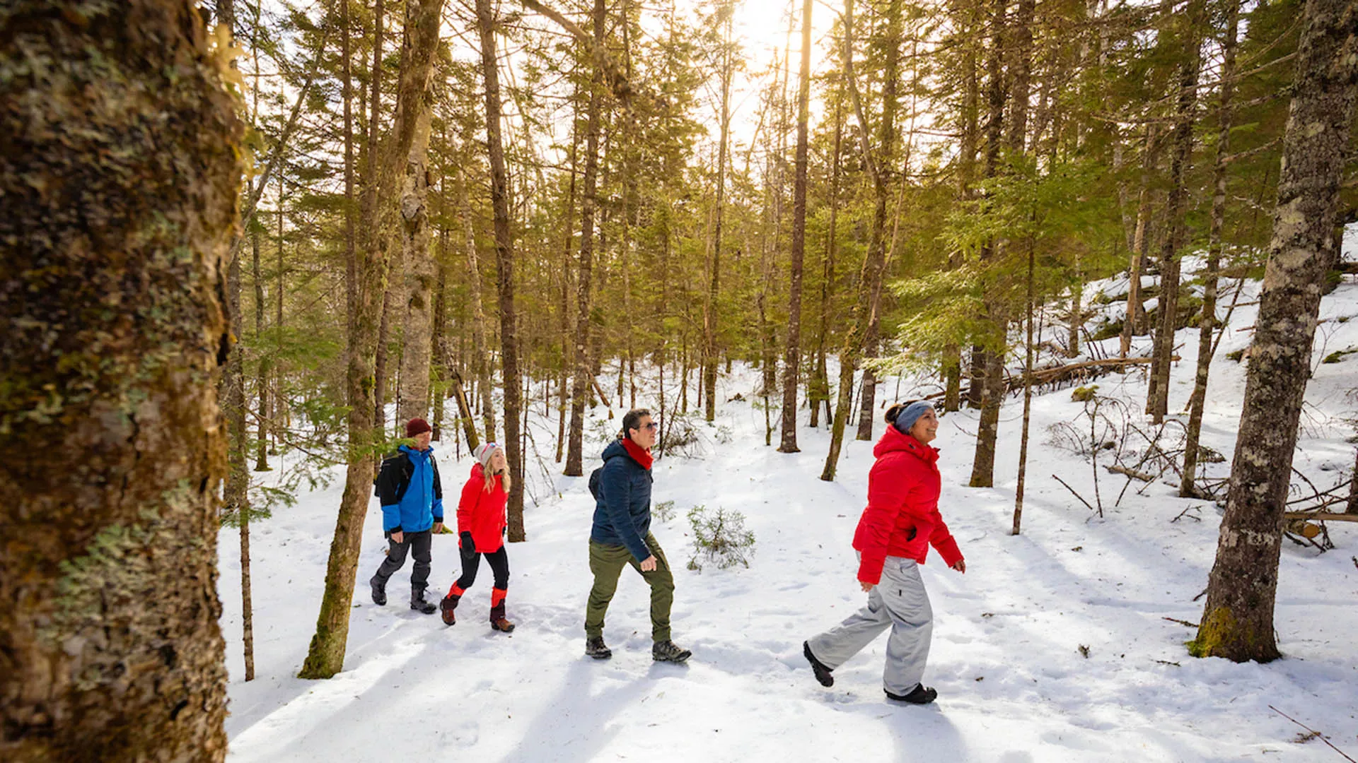
Looking for a bite to eat or something else to do during your visit? Check out these popular nearby activities and attractions!

From June 1 to October 4
Open seasonally (June, July, August, September, October)

From May 1 to October 15

Open year-round
Open year-round

Open year-round

Open year-round
From May 1 to October 31

Open year-round
Open year-round
Tag your travel photos to be featured.
